
GEOSATSIGNAL DATA SERVICE
RADAR
AVAILABILITY OF RADARDATA
Several sites are offering radar products. We made this radar suitable for use in GeoSatSignal, a program to view satellite images. You're able to merge the radar with the satellite image with this program. You will find some instructions about access and use of this data on this page.
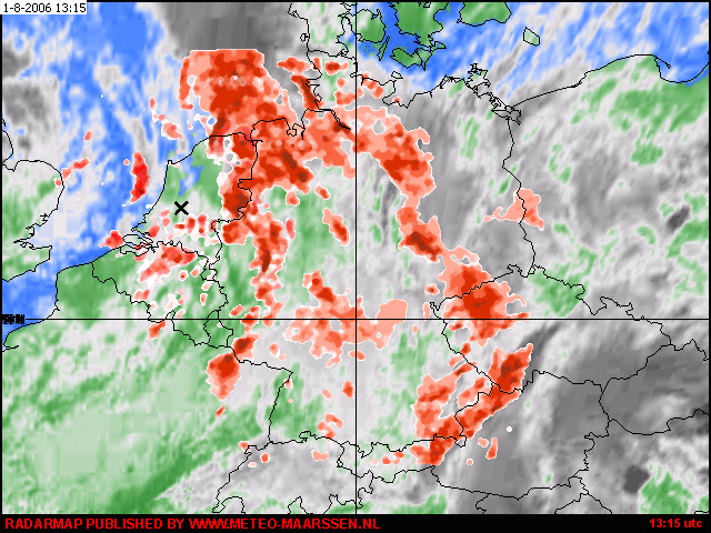
Radar overlay merged with a Meteosat 8 image
All the data is offered as it and there is no help or support using this data (either from Meteo Maarssen or David Taylor), but you may contact Meteo Maarssen if any problem come up with access to our site.
Each file is containing a full daily set of data from 00:00 to 24:00 UTC in steps of 10 min's to 1 hours for one country. Archives are available up to 7 days. GSS-users are advised to use David Taylor's Autoget for automated retrieving of the data. Other users should click on the link to get direct access to the data folder.
Meteo Maarssen is a Dutch amateur weather station and doesn't have a 7/24 service. Data feed and data availability is therefore not guaranteed. Data is usual published each day around 18:00 UTC and is only published if the station is manned, so there may be sometimes a delay. Longer interruptions, as with vacations, will be announced in the satsignal forum. Missing data can be ordered in that case on request.
Please note that the manufacturing and upload processes of the files are full automated processes and we don't check the quality before uploading the files. Contact us if any problems occurs.
The files in the gss-data directory contains zipped radar frames for some European countries and the USA which can be used as overlay on satellite images in GeoSatSignal. An overview of the provided datasets is available <here>.The data must be unzipped/extracted by e.g. winzip before you can use it.
FILENAMING CONVENTION
Files are stored in the next filenaming convention:
r-cc[yymmdd].zip example: r-ce040926.zip
cc = country/region (this sample ce = central europe (germany)).
yy = year,
mm = month,
dd = day,
hh = hour (military = 00-24 hrs on UTC)
mm = min (in steps of 15 minutes, if available)
CONTENT OF THE DATAFILES
The content of the zip-files have a similar format as the zip files, but with the UTC time included:
r-cc[yymmdd_hhmm].gif example: r-ce040926_0145.gif
hh = hour (military = 00-24 hrs on UTC)
mm = min (in steps of 10 or 15 minutes, if available)
The unzipped files offers .gif radar images without any grid. You will see only red colored spots, representing precipitation in any form. See the section <manual view> when you need boundaries as overlay.
ARCHIVES
Available archives per 1 december 2009:
| Country / Region | Code | fr/hr |
1 fr/ xx min | Map | Data |
| Central Europe (Germany) | CE | 4 |
15 |
gridmap | Data access |
| Denmark | DK | 6 |
10 |
gridmap | Data access |
| European overview/composite | EU | 1 |
60 |
gridmap | Data access |
| Iberian peninsula | IB | 2 |
30 |
gridmap | Data access |
| France | FR | 4 |
15 |
gridmap | Data access |
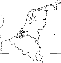
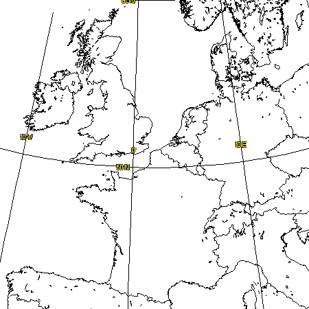
| Netherlands/Belgium | NL | 4 |
15 |
gridmap | Data access |
| Scandinavia | SC | 4 |
15 |
gridmap | Data access |
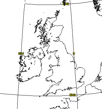
| United Kingdom | UK | 4 |
15 |
gridmap | Data access |
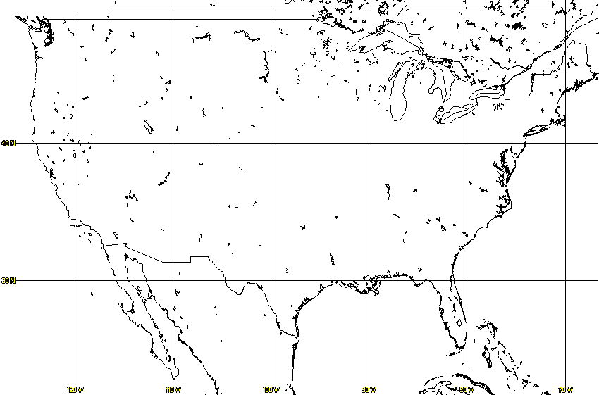
| United States of America | US | 1 |
60 |
gridmap | Data access |
| West-Europe (Northsea region) | WE | 4 |
15 |
gridmap | Data access |
| fr/hr = frames per hour | 1 fr/ xx min = interval between frames in minutes. | |||||
Archived data can be ordered by e-mail on request. Contact us for details and archived radar data.
AUTOMATED VIEW
All you have to do is downloading these files into the folders where the satellite data lives, unzip them and set in GSS the requested rain data overlay and view as usual.
MANUAL VIEW
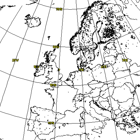
Radar maps are published without any grid or overlay. Use the overlays in:
www.meteo-maarssen.nl/data/gss/misc
for any overlay needed. Refer your photo/image-editor help file how to superimpose the overlays. Gridmaps are available for: (see table)